

Release Date :
Reference Number :
2025PR-44
12 March 2025 – Occidental Mindoro. The Philippine Statistics Authority (PSA) Occidental Mindoro conducts the 2024 Census of Population (POPCEN) and Community-Based Monitoring System (CBMS) Geotagging of Service Facilities and Government Projects (SFGP) to all municipalities within the province. This will be used to prepare a compendium of localized fact, figures and maps on different dimension of poverty. Relative to this, geotagging Service Facilities, Government Projects and Building Constructions shall be done on 05 March 2025 to 12 April 2025 by the Map Data Collectors and Team Supervisors.
This activity involves the use of mapping technology to collect precise geographic data on service facilities, including health centers, schools and government infrastructure project. This geotagging activity is critical in providing policymakers with accurate, up-to-date information on the distribution and accessibility of essential services across all barangays.
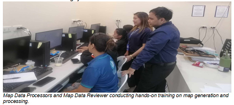
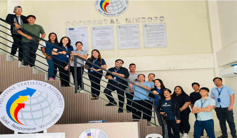
The Provincial Level Training for the 2024 POPCEN-CBMS Geotagging of Service Facilities and Government Projects was conducted on 24 to 27 February 2025 at PSA Occidental Mindoro Building. Seven Map Data Collector, Two Team Supervisor, Two Map Data Processor and One Map Data Reviewer were hired and trained for the said geotagging. The Map Data Processor and Map Data Reviewer are responsible for creating a map of the closest barangay, which will be utilized by the Map Data Collector for the geotagging exercise.
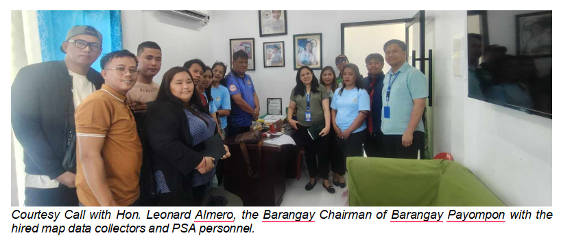
Prior to the data collection, the team paid a courtesy visit to Barangay Payompon, Mamburao, Occidental Mindoro to engage them directly in the geotagging of service facilities, such as the Barangay Hall.
In line with this, the PSA Occidental Mindoro enjoins the public, government agencies and provincial line agencies to allow the PSA-hired personnel to geotag and collect information about the Service Facilities, Government Projects and on-going building constructions.
(SGD) MARIBEL L. BERNARDO, PhD
Chief Statistical Specialist